Around 390 million years ago, a giant space rock may have slammed into what is now eastern Canada, leaving behind a massive scar that remained hidden for hundreds of millions of years. Surprisingly, the discovery didn’t begin with a satellite mission or an advanced telescope—it started with Google Maps.
An amateur astronomer scanning satellite imagery for a camping trip may have uncovered one of the most significant meteorite impact structures discovered in recent years.
A Discovery That Started on Google Maps
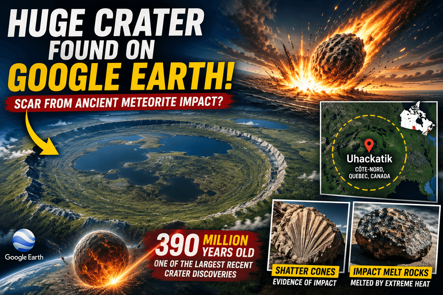
In 2024, Canadian amateur astronomer Joël Lapointe noticed a huge circular landform near Lake Marsal in Quebec’s Côte-Nord region while planning a route on Google Maps. The unusual ring-shaped landscape looked strikingly similar to known impact craters.
Lapointe submitted his observation to Impact Earth, a citizen-science platform run by Western University in Canada that allows the public to report potential impact structures.
The report caught the attention of renowned planetary geologist Prof. Gordon “Oz” Osinski, who led a field expedition in 2025.
Meet the Uhackatik Crater
The newly identified structure has been named Uhackatik, with approval from the Innu Council of Ekuanitshit, on whose traditional land it lies.
Scientists estimate the crater is:
- Around 25 km (15.5 miles) wide
- Approximately 390 million years old
- Potentially one of the largest meteorite impact craters discovered in the past decade
If confirmed, it would rank among the biggest recent crater discoveries on Earth.
Why Scientists Believe It’s an Impact Crater
During field investigations, researchers found strong evidence known as shock metamorphism—rock deformation that occurs only under the immense pressures generated by a meteorite impact or nuclear explosion.
Among the most convincing findings were:
- Shatter cones — distinctive cone-shaped fractures that are considered a geological “fingerprint” of meteorite impacts.
- Impact melt rocks — rocks that were instantly melted by the tremendous heat generated during the collision before cooling and solidifying.
These discoveries strongly support the idea that Uhackatik was formed by a massive asteroid impact rather than volcanic activity.
Researchers are now conducting microscopic and geochemical analyses to identify additional shock minerals and confirm the crater’s extraterrestrial origin.
Why This Discovery Matters
Earth constantly reshapes its surface through erosion, glaciers, tectonic activity, and vegetation growth. As a result, ancient impact craters are often destroyed or buried.
Finding a well-preserved crater nearly 400 million years old is exceptionally rare.
Scientists believe Uhackatik could help answer important questions about:
- The history of asteroid impacts on Earth
- Planetary evolution
- Impact hazards
- Crater formation on the Moon and Mars
The crater is already being compared to Kamestastin (Mistastin) Crater in Labrador, a site NASA uses to train Artemis astronauts because its rocks closely resemble those found near the Moon’s south pole. Researchers say Uhackatik may represent what lunar craters such as Tycho looked like shortly after formation.
What’s Next?
The discovery has not yet completed peer review, but researchers will present their findings at the 88th Annual Meeting of the Meteoritical Society in Germany in August 2026.
If laboratory studies confirm the preliminary evidence, Uhackatik could become one of the most important impact crater discoveries of the decade—showing once again that even in the age of advanced satellites and AI, a curious observer using Google Maps can still help rewrite Earth’s geological history.