
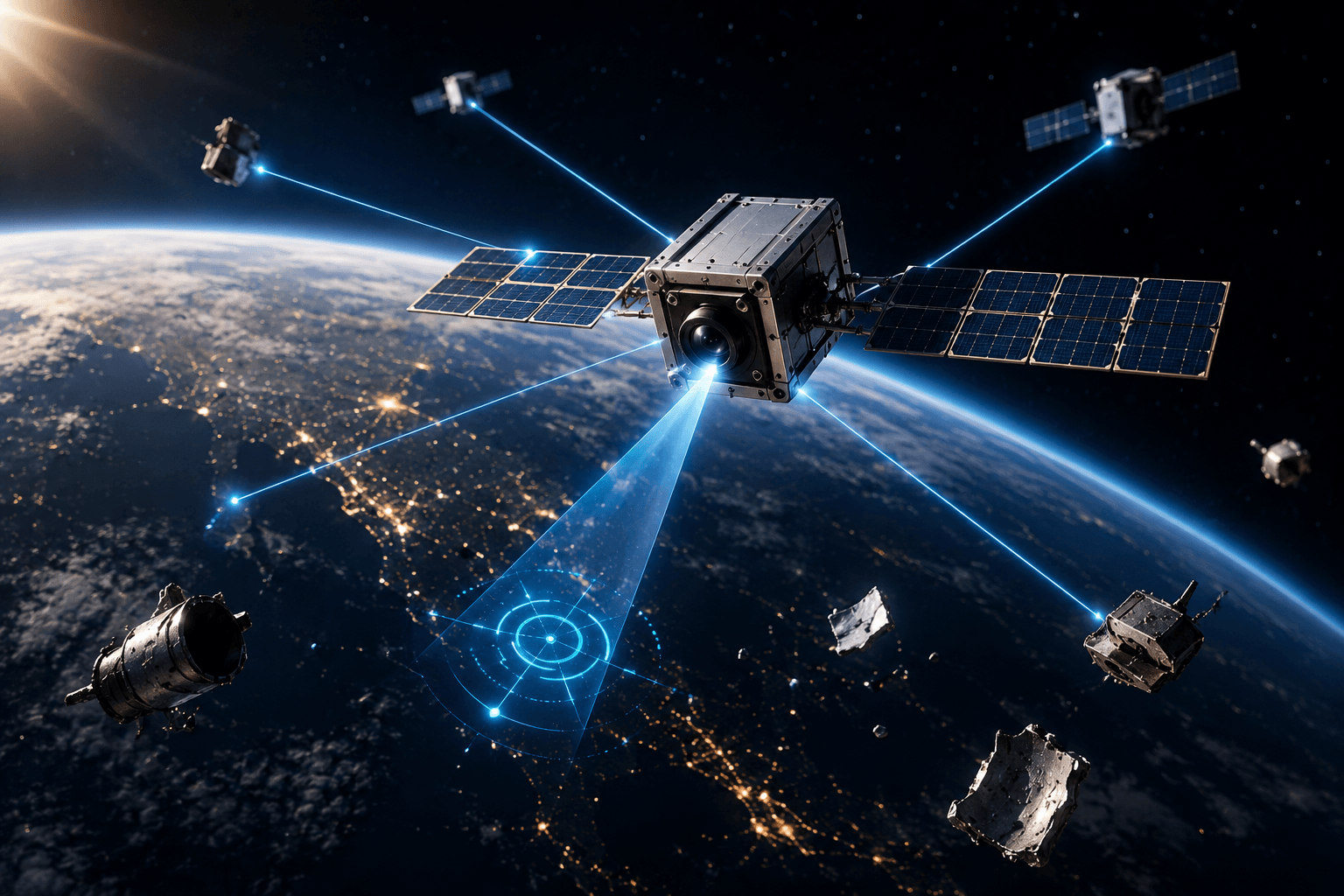
NASA has demonstrated a new way for spacecraft to navigate without relying on GPS. Its experimental FALCON system allows a satellite to identify other spacecraft and orbital debris as reference points, helping it determine its own position in space.
The breakthrough comes from NASA’s Starling mission, a four-CubeSat swarm designed to test autonomous spacecraft technologies. The development could become particularly important for future missions around the Moon and farther into deep space, where Earth-based GPS signals are unavailable or unreliable.
What is FALCON?
FALCON stands for Fast Autonomous Lost-in-space Catalog-based Optical Navigation.
Instead of depending entirely on navigation signals transmitted from Earth, the system uses cameras already carried by spacecraft to observe objects around them. FALCON combines those observations with an onboard database of known objects to work out where the spacecraft is in orbit.
In NASA’s recent demonstration, Starling’s cameras identified objects including other satellites and pieces of orbital debris. The system matched those observations against a catalog and used the confirmed objects as landmarks for determining Starling’s orbit.
Think of it as a spacecraft navigating through space using a constantly updated visual map of its surroundings.
FALCON Also Improved Space-Object Tracking
The experiment went beyond simply finding Starling’s own position.
NASA loaded an onboard catalog containing roughly 20,000 space objects and their predicted orbits. FALCON compared those predictions with what Starling’s cameras actually observed.
Over just three days, the system improved orbital estimates for more than 200 objects without intervention from operators on the ground. NASA says the onboard estimates were more precise than the existing catalog information in the tested cases.
That capability could eventually become valuable for space-traffic monitoring and collision avoidance, where knowing the position of nearby objects is critical.
Why Does GPS-Free Navigation Matter?
GPS works extremely well around Earth, but spacecraft traveling toward the Moon, Mars or deeper into space cannot simply rely on conventional GPS coverage.
NASA is therefore developing spacecraft that can increasingly determine their own position, communicate with one another and make operational decisions with less dependence on Earth.
Starling has already demonstrated autonomous coordination among multiple spacecraft. NASA’s broader vision is for satellite swarms to function more like a distributed system, sharing observations and collectively solving navigation and mission problems.
The Next Step: Satellites That Navigate as a Team
Later in 2026, NASA plans to extend the FALCON experiment using EraDrive’s Era-Core software. The four Starling spacecraft will share tracking observations and use the combined information to refine their positions collectively.
The long-term significance is bigger than replacing GPS.
FALCON points toward a future in which spacecraft can see, identify, locate and coordinate themselves—without constantly asking Earth where they are.
That could become a foundational capability for the next generation of autonomous satellite swarms, lunar navigation networks and deep-space exploration.