
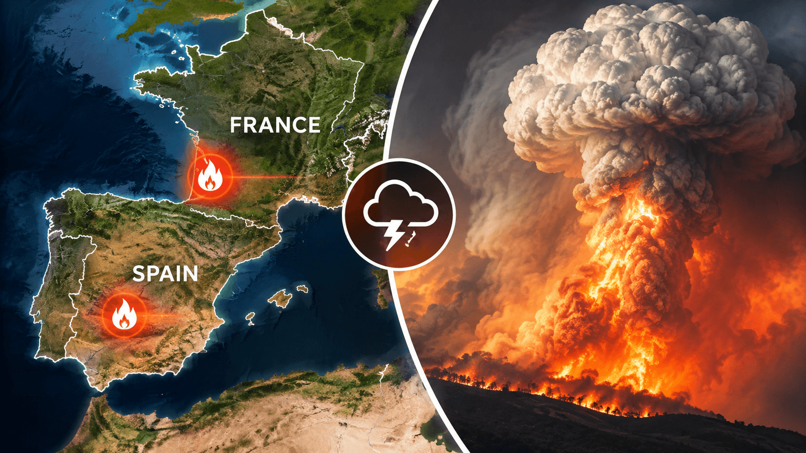
July 2026 witnessed one of the most destructive wildfire seasons in modern European history. Massive fires swept across Spain and France, burning forests, villages and tourist areas while forcing nearly 300,000 people to evacuate.
The disaster drew global attention after a wildfire in France became so intense that it generated a Pyrocumulonimbus (PyroCb)—a towering “fire thunderstorm” created by the heat of the blaze itself.
Scientists say the fires were not simply the result of bad luck. A combination of rapid vegetation growth, extreme heat, prolonged drought, strong winds and human-induced climate change created ideal conditions for explosive wildfires.
Europe Wildfires 2026: Key Highlights
- Spain recorded its largest wildfire on record.
- France experienced one of its worst wildfire seasons in decades.
- Around 140,000 hectares burned in Spain (13–28 July).
- About 115,000 hectares burned in France since the start of 2026.
- Nearly 300,000 people evacuated across both countries.
- At least three deaths were reported.
- France recorded its first reported wildfire-generated Pyrocumulonimbus cloud.
Spain’s Largest Wildfire
The worst fires struck Ávila, Madrid, Toledo, Guadalajara and Castellón.
The Ávila wildfire became the largest in Spain’s history, burning roughly 44,000–50,000 hectares before merging with nearby fires. The total affected area eventually reached about 77,000 hectares, nearly the size of New York City.
The fires destroyed:
- Homes
- Restaurants
- Campgrounds
- Forests
- Tourist facilities
- Public infrastructure
NASA’s Landsat-9 satellites captured extensive burn scars visible from space.
France’s Historic Fire Emergency
France’s largest fires began along the Atlantic coast before spreading into Gironde, near Bordeaux.
The Gironde wildfire burned nearly 40,000 hectares, making it the second-largest single wildfire in France since World War II.
By late July:
- More than 115,000 hectares had burned nationwide.
- Thousands of firefighters and aircraft were deployed.
- Entire communities, including Le Porge, were severely affected.
Why Did These Wildfires Become So Extreme?
Scientists describe the 2026 season as a perfect wildfire recipe.
1. Wet Winter
Heavy rainfall encouraged rapid growth of:
- Grass
- Shrubs
- Forest undergrowth
This created abundant vegetation.
2. Heatwaves
Successive summer heatwaves dried the vegetation, turning it into highly combustible fuel.
3. Drought
Months of drought removed remaining moisture from forests and grasslands.
4. Strong Winds
Winds reaching 65 km/h accelerated flame spread and carried burning embers over long distances.
Together, these conditions allowed fires to expand rapidly and become difficult to control.
Climate Change Made Fire Weather More Likely
A rapid analysis by World Weather Attribution (WWA) found that human-induced climate change significantly increased the likelihood of the extreme fire weather behind these events.
Key Findings
- Fire weather became 20 times more likely in central Spain.
- Fire weather became 2 times more likely in south-west France.
- Earth’s average temperature is now about 1.4°C warmer than the 1850–1900 pre-industrial average.
Researchers used the Daily Severity Rating (DSR)—a metric combining temperature, humidity, drought and wind—to assess how difficult fires are to suppress.
According to WWA, such severe wildfire conditions are now expected:
- About once every six years in central Spain.
- About once every twenty years in south-west France.
Fire Created Its Own Storm
One of the most remarkable events occurred on 25 July, when firefighters observed a Pyrocumulonimbus (PyroCb) over south-west France.
What is a Pyrocumulonimbus?
A Pyrocumulonimbus is a giant thunderstorm generated by the intense heat of a wildfire rather than normal atmospheric heating.
Wildfire heat rapidly lifts hot air, smoke and ash high into the atmosphere, where moisture condenses into a towering storm cloud.
These clouds can:
- Produce lightning
- Generate powerful winds
- Spread fires rapidly
- Inject smoke high into the atmosphere
- Create dangerous, unpredictable fire behaviour
The French event is believed to be the first reported wildfire-generated PyroCb in the country.
NASA’s Role
NASA monitored the disaster using:
- Landsat-9 — mapped burn scars and damaged vegetation.
- FIRMS (Fire Information for Resource Management System) — detected active fire hotspots in near real time.
- Worldview — tracked smoke plumes and wildfire progression from space.
Satellite observations helped emergency agencies monitor rapidly changing fire conditions.
Key Terms in Focus
Pyrocumulonimbus (PyroCb)
- Fire-generated thunderstorm
- Formed by intense wildfire heat
- Can produce lightning and strong winds
- Makes wildfire behaviour more unpredictable
Daily Severity Rating (DSR)
A wildfire risk index that combines:
- Temperature
- Drought
- Humidity
- Wind
Higher DSR indicates fires will spread faster and become harder to control.
NASA FIRMS
A satellite-based system providing near real-time global wildfire detection and monitoring.
Conclusion
The 2026 Europe wildfires demonstrated how climate, weather and vegetation can interact to create catastrophic fire conditions. Spain experienced its largest wildfire on record, while France witnessed a rare wildfire-generated storm cloud for the first time.
The findings from NASA and World Weather Attribution suggest that as the climate continues to warm, extreme fire weather is becoming more likely in parts of Europe. Alongside reducing greenhouse gas emissions, experts emphasize stronger wildfire prevention, land management and emergency response systems to reduce future risks.
FAQs
Why were the Europe wildfires so severe in 2026?
A wet winter, followed by extreme heat, prolonged drought and strong winds, created abundant dry fuel that allowed fires to spread rapidly.
What is a Pyrocumulonimbus?
It is a thunderstorm-like cloud generated by the intense heat of a wildfire, capable of producing lightning and strong winds.
How did climate change influence the fires?
According to World Weather Attribution, climate change made the extreme fire weather about 20 times more likely in central Spain and twice as likely in south-west France.
How did NASA monitor the fires?
NASA used Landsat-9, FIRMS and Worldview satellites to detect hotspots, map burn scars and monitor smoke and fire spread in near real time.