
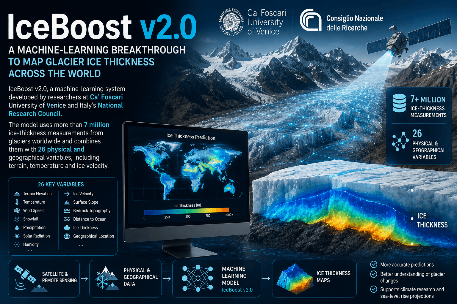
A new artificial intelligence model has produced one of the most detailed global estimates yet of how much ice is stored in the world’s glaciers—offering scientists a sharper baseline for understanding sea-level rise, freshwater security and future glacier loss.
Published in Scientific Data in July 2026, the study introduces IceBoost v2.0, a machine-learning system developed by researchers at Ca’ Foscari University of Venice and Italy’s National Research Council. The model uses more than 7 million ice-thickness measurements from glaciers worldwide and combines them with 26 physical and geographical variables, including terrain, temperature and ice velocity.
How much ice is actually in the world’s glaciers?
IceBoost estimates that glaciers outside the Greenland and Antarctic ice sheets contain roughly 150,000 cubic kilometres of ice.
If all of this ice eventually melted, it would correspond to approximately 32.3 centimetres of global mean sea-level rise, although complete melting would occur over very long timescales and is not a near-term scenario.
The major advance is not simply the total number. IceBoost creates a much more detailed picture of where that ice is located and how thick individual glaciers are.
The model performed particularly well in high-latitude regions, with errors 20–45% lower than competing approaches in the high Arctic. At Greenland’s Geikie Plateau, it estimated almost twice as much ice as some earlier calculations.
Why glacier thickness matters
Knowing a glacier’s surface area is not enough. Scientists need to know its thickness and volume to estimate how quickly it may disappear, how much water it could release and how its loss could affect sea levels.
This is becoming increasingly important as glaciers retreat worldwide.
In the Hindu Kush Himalaya, recent assessments have highlighted accelerating ice loss and potential consequences for the water, food and energy security of nearly two billion people downstream.
The region is also experiencing growing concern over glacial lake outburst floods (GLOFs) as melting glaciers contribute to the expansion of unstable glacial lakes.
AI meets climate science
IceBoost is part of a broader shift toward using AI to process enormous environmental datasets.
Researchers are increasingly combining satellite imagery, climate records, terrain information and machine learning to monitor and predict glacier changes. Recent experimental work has also explored AI-based forecasting of glacier retreat using satellite observations and climate signals.
The new IceBoost dataset can help scientists identify regions where measurements are reliable—and locations where more field observations are urgently required, including parts of the Himalaya, Karakoram and Patagonia.
Recent events show why that matters. NASA has documented dramatic glacier retreat, including the rapidly changing Hektoria Glacier in Antarctica, while scientists are conducting major expeditions in Greenland to better understand how melting ice could interact with ocean circulation.
A map for the future
The researchers expect IceBoost v2.0 to support next-generation glacier simulations, including work feeding into assessments of glacier evolution through 2100.
But AI is not replacing field science. The model’s accuracy depends heavily on the quality and geographic coverage of its training data, and uncertainty remains higher in steep mountain terrain, small glaciers and poorly measured regions.
The bigger message is clear: before scientists can accurately predict how the world’s glaciers will change, they need to know what is there today. IceBoost v2.0 gives climate researchers a more detailed starting map—and AI is helping turn millions of scattered measurements into a global picture of Earth’s disappearing ice.